


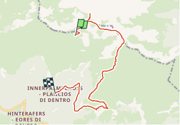


9,2 km | 14,2 km-effort

Utilisateur


Application GPS de randonnée GRATUITE
 SityTrail
IGN / Instituts géographiques
SityTrail World
Le monde est à vous
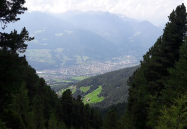
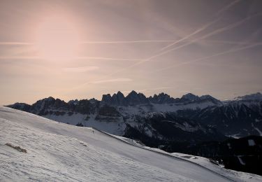
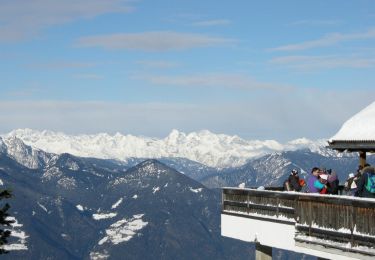
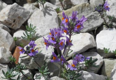
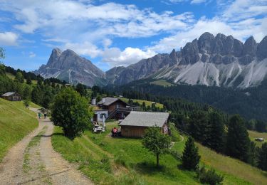
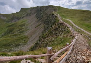
Randonnée Marche de 7,8 km à découvrir à Trentin-Haut-Adige, Haut-Adige, Brixen - Bressanone. Cette randonnée est proposée par VacheKiri67.
Faite le 26/07/2017 avec notre fils Théo de 12 ans. Montée en téléphérique depuis la Skihütte, retour à pied.


39 photos au total. Cliquez sur une photo pour les afficher toutes dans la galerie.
Marche
Marche
Marche
A pied
A pied
A pied

V.T.T.
Marche
Marche
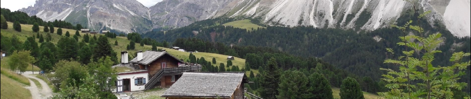
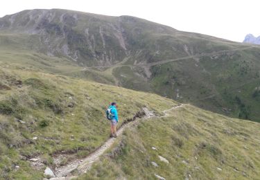
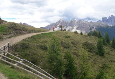
Beau parcours varié avec beau panorama sur les Alpes et le Dolomites.